Upper Cathedral Wash Trail
“A beautiful hike at the base of the Vermilion Cliffs with a number of fun, adventurous rock scrambles.”

Easy
3.14 miles (5.05 km)
Hiking
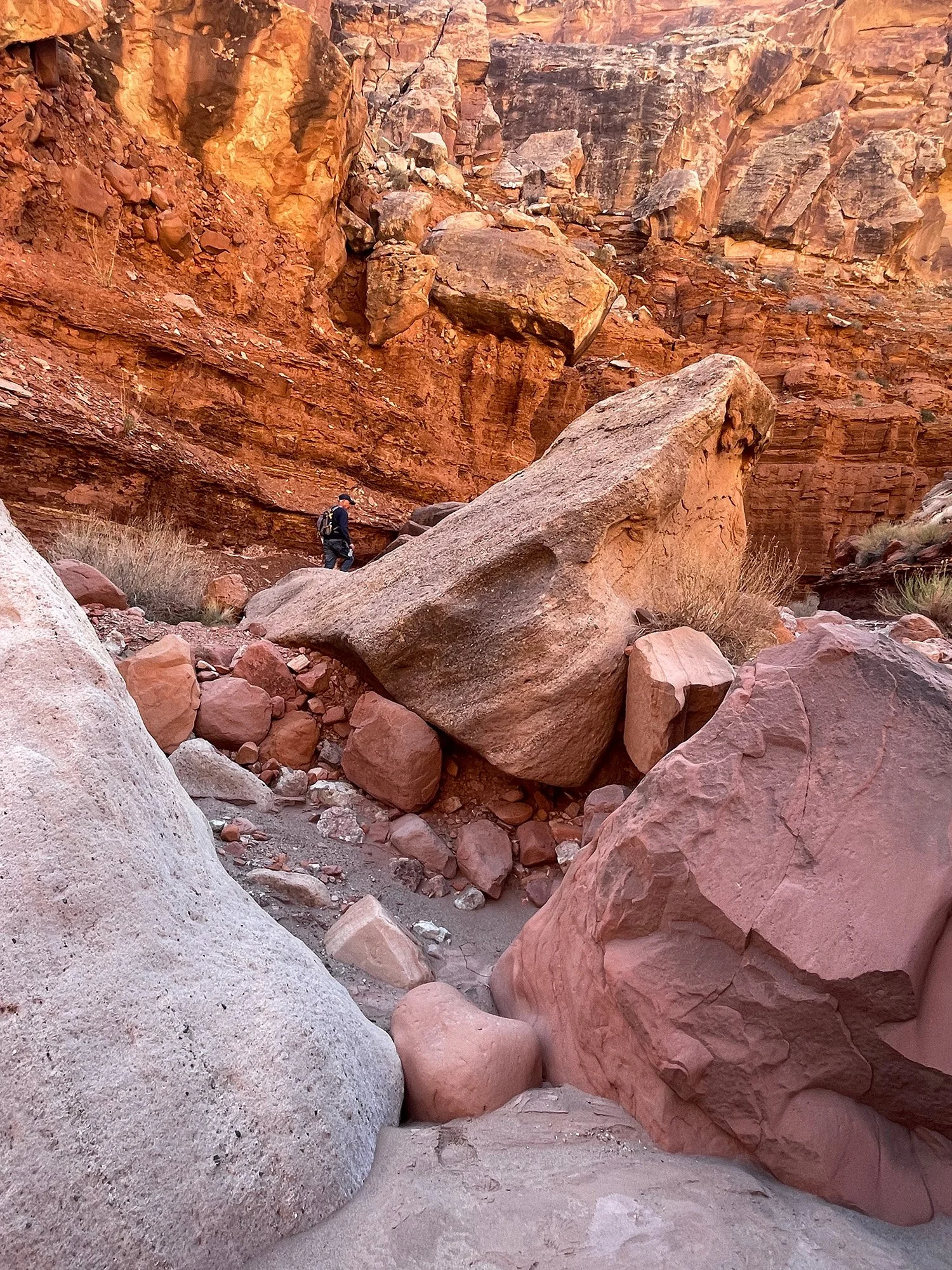
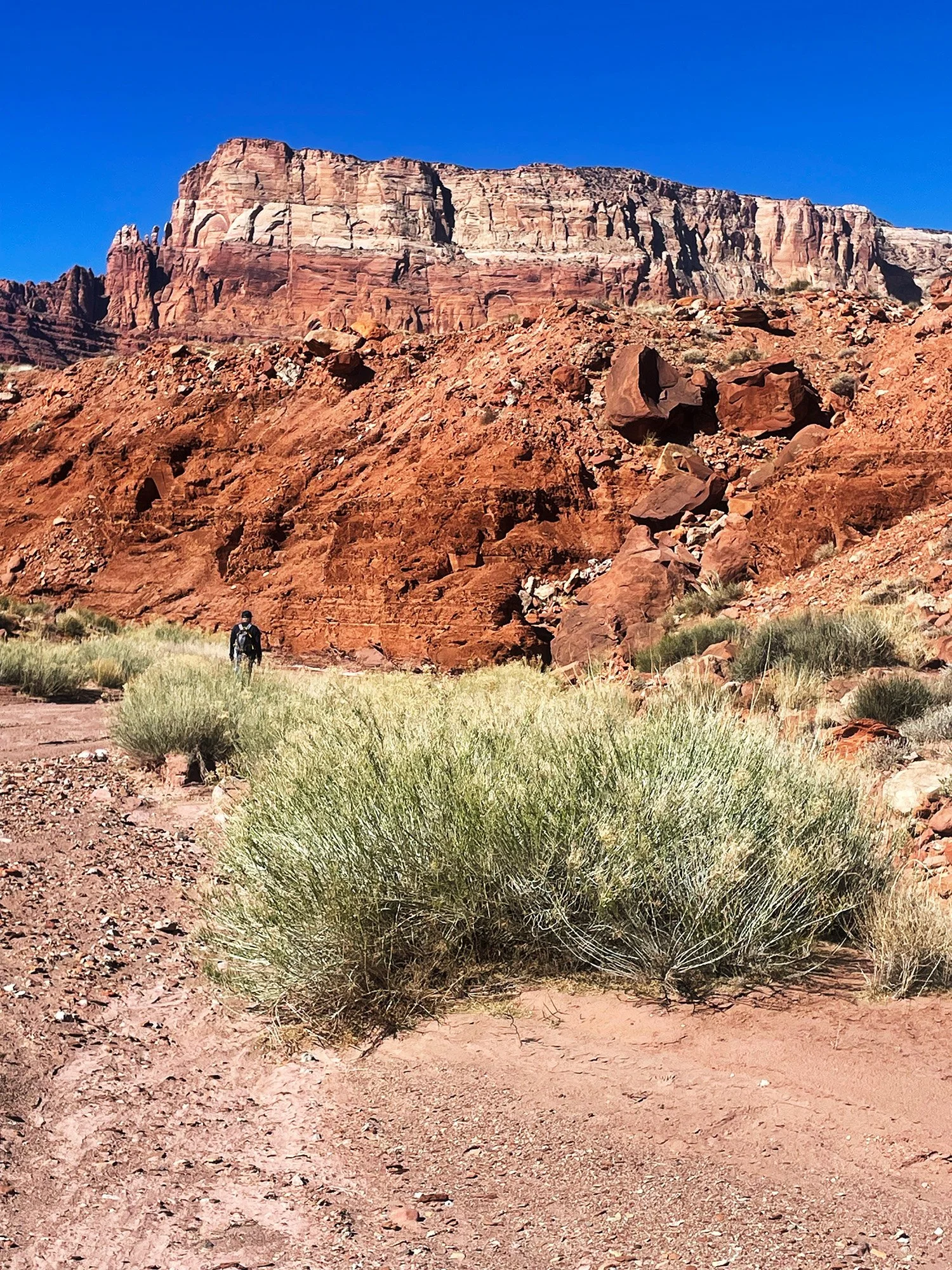
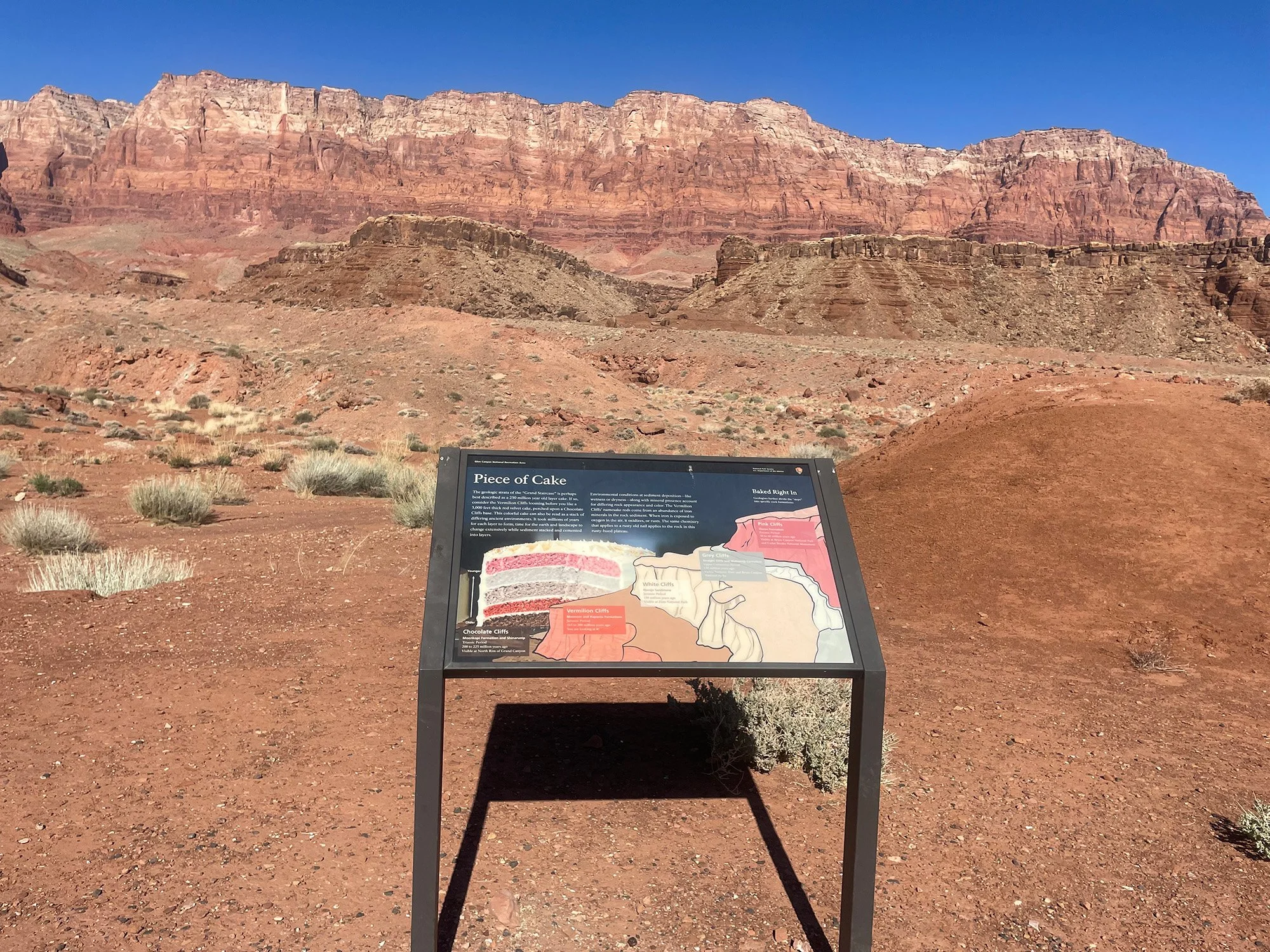
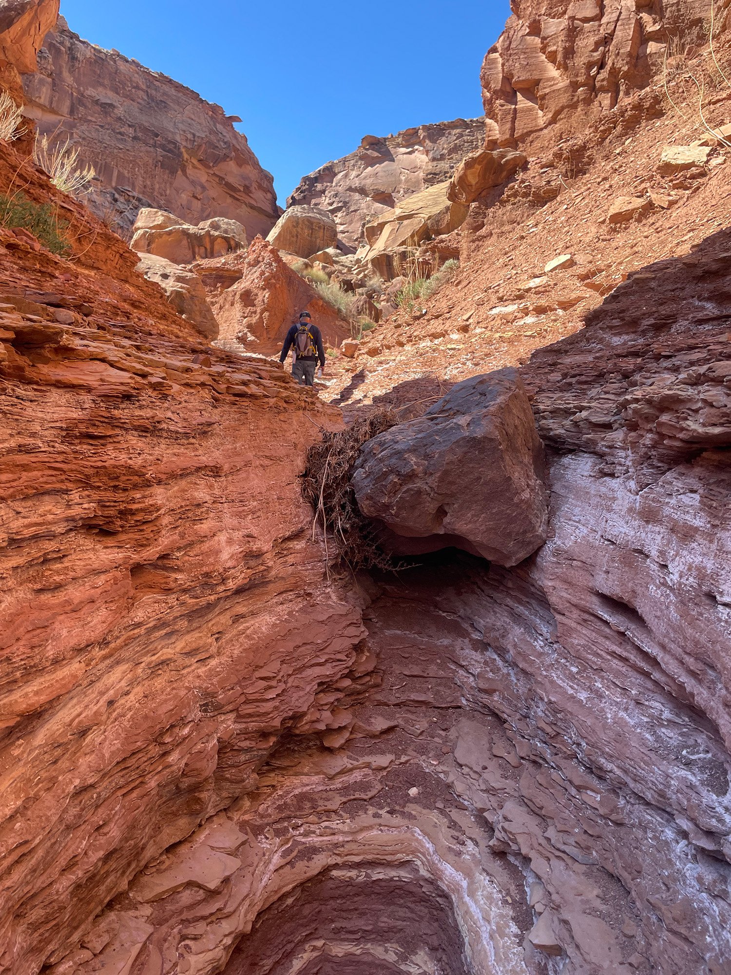
This hike ascends a wash at the base of the Vermilion Cliffs in the Lees Ferry area. The wash is strewn with sand, rocks and boulders. It offers expansive views as well as some rock scrambling to reach a high pour over wall at the end. Retrace your steps back.
DO NOT ATTEMPT IN WET WEATHER. THIS IS A FLASH FLOOD AREA.
GET THE APP. GET THE MAP.®
Download the Avenza Maps App and create an account. It’s free!


Directions
From the intersection of Lake Powell Blvd. and North Navajo Drive in Page the trailhead is 40.6 miles (65.34 km). Drive northwest on Lake Powell Blvd. and turn left (south) on HWY 89. At mile 25.1 turn right (north) onto HWY 89A towards Lees Ferry and Jacob Lake. At mile 39.1 cross over Navajo Bridge, then turn right (north) onto Lees Ferry Road. At mile 39.8 there is a kiosk for the park entry fee. The trailhead parking is .8 miles ahead on the left.
Click map below to navigate to trailhead.
Trail Details
Trailhead Coordinates: 36°50.0247N 111°38.4128W
Trail Access: National Park Service, U.S. Fee Area
Trail Surface: Sand, cobbles, boulders
Trail Condition: Moderately developed
Trail Use Type: Hiking
Best Season: Year round, prepare for heat in summer, ice and water pools in winter
Parking at Trailhead: Yes
Restroom / Water: No
Pet Friendly: Yes
Degree of Difficulty: Easy
Trail Type: Out and back
Trail Length: 3.14 miles (5.05 km) out and back, 1.57 miles (2.53 km) one way
Elevation Gain / Loss: 257’ ascent
Elevation at Trailhead: 3439’
Cell Service: Intermittent
Land Manager: National Park Service (NPS) - Glen Canyon National Recreation Area (GCNRA)