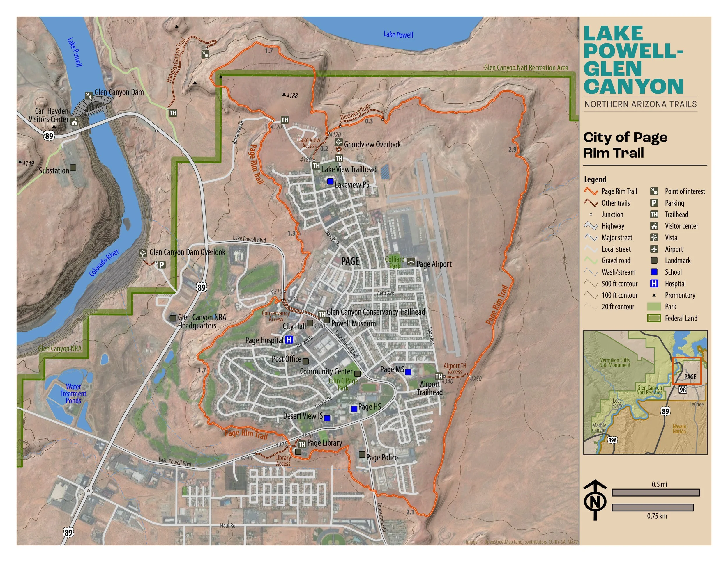
City of Page Rim Trail
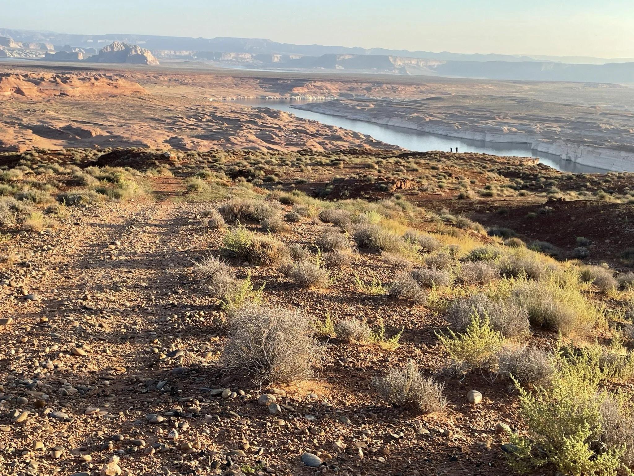
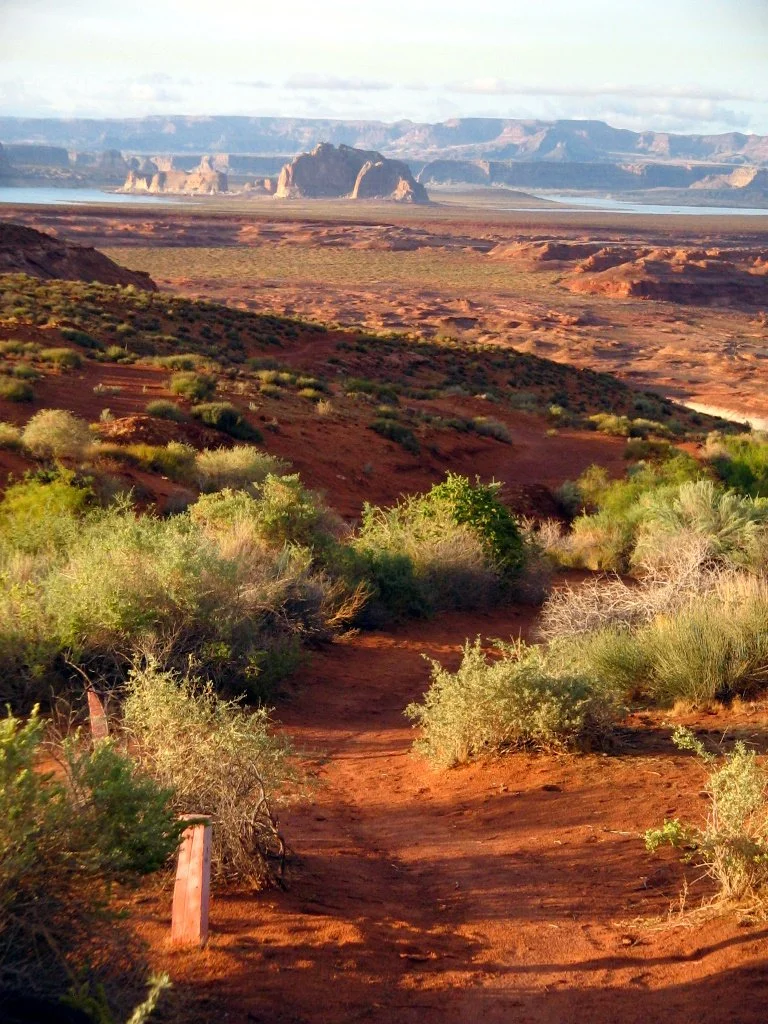
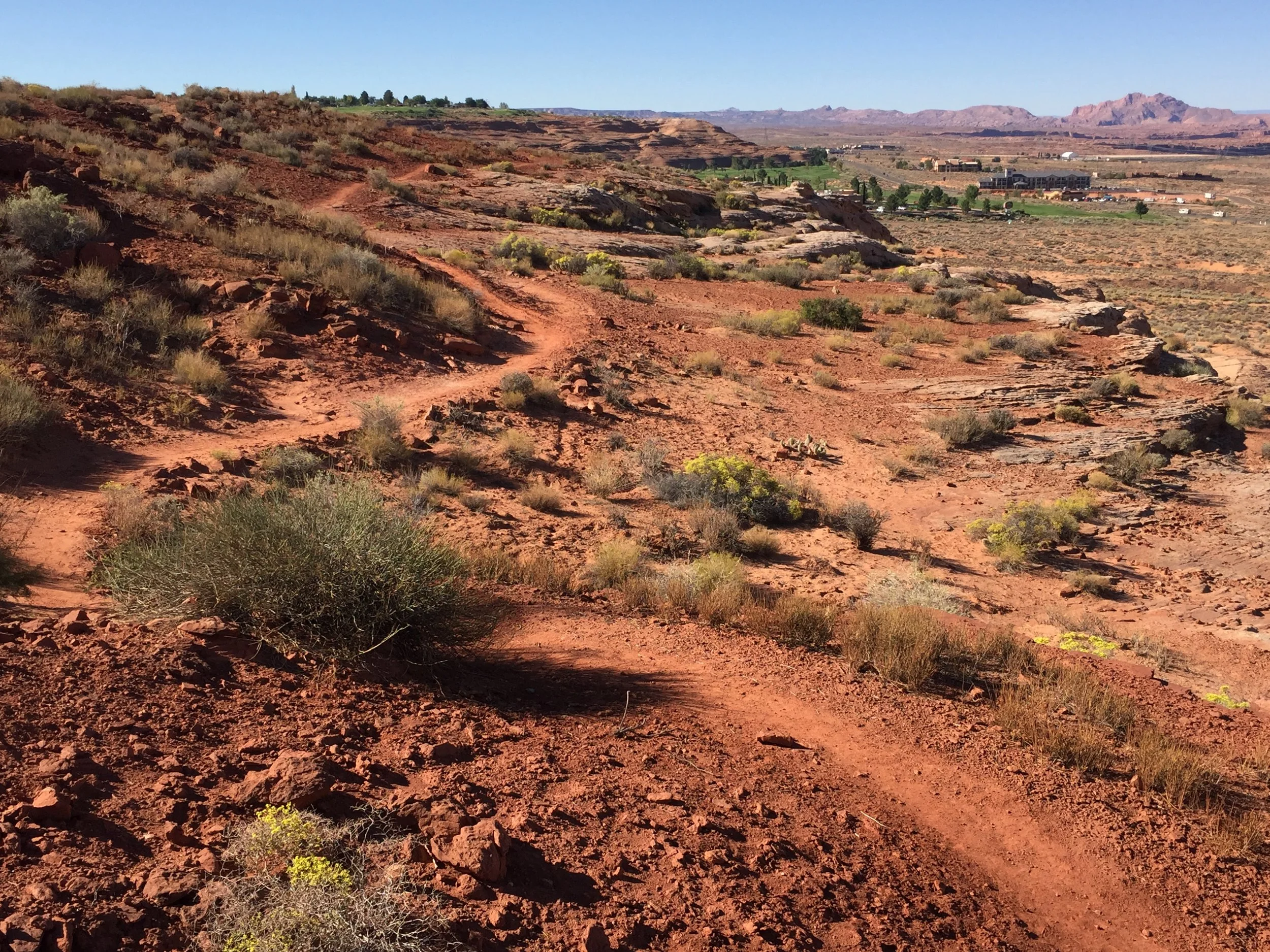
“Situated at 4300 feet above mean sea level, the trail loops around the edge of Manson Mesa and offers stunning views of the desert landscapes of the Colorado Plateau. Take in a sunrise over the Navajo Nation or a sunset over the Vermilion Cliffs and experience the unequaled display of colorful geology on the surrounding lands.”

Easy
10.2 miles (16.42 km)
Hiking. Mountain biking
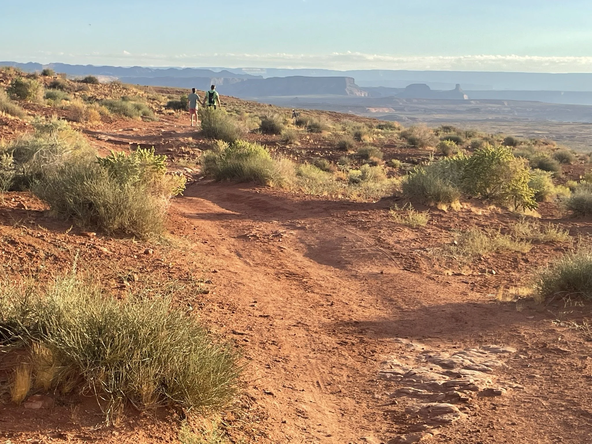
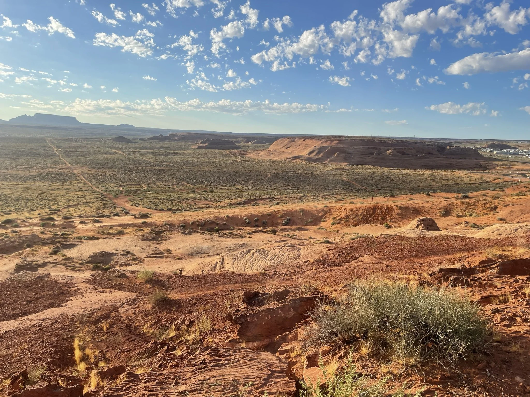
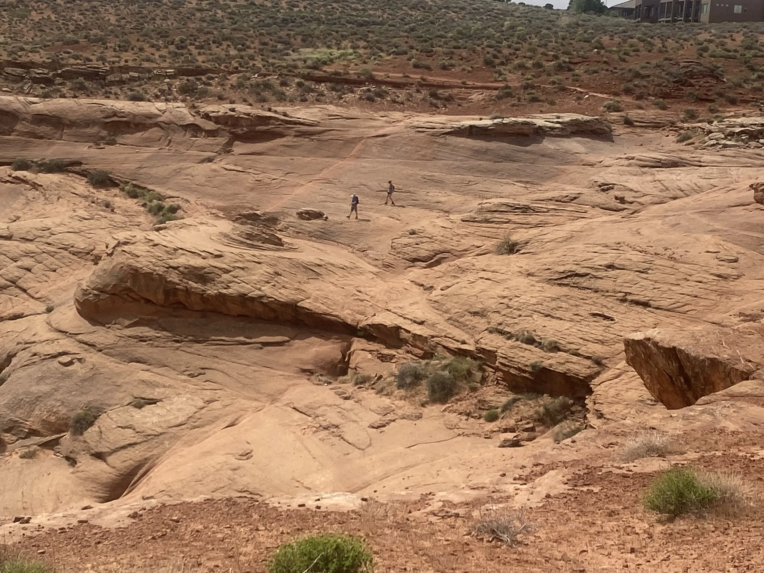
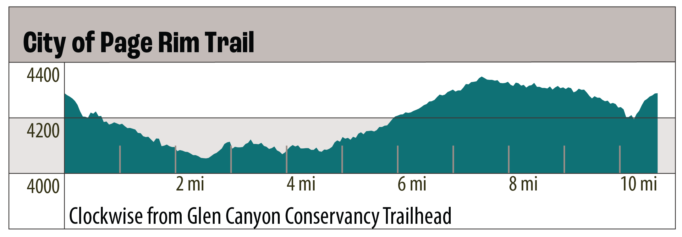
The City of Page Rim Trail is a 10.2-mile loop trail that runs along the edge of Manson Mesa. It is primarily a flat, hard earth trail but has some off trail drop-offs. It surrounds the City of Page.
GET THE APP. GET THE MAP.®
Download the Avenza Maps App and create an account. It’s free!


Directions
There are four access points with parking. See map for TH markers.
Click marker below to navigate to trailhead.
Trail Details
Trailhead Coordinates:
Airport: 36°54.8843’N 111°26.8393’W
Page Public Library: 36°54.5364’N 111°27.7444’W
Glen Canyon Conservancy: 36°55.1701’N 111°27.6263’W
Lake View: 36°55.9513’N 111°27.6612’W (This access point includes a bike repair stand.)
Trail Access: Free and open to the public
Trail Surface: Earth
Trail Condition: Moderately developed
Trail Use Type: Hiking, Mountain biking, Class 1 E-Bikes
Best Season: Year round, prepare for heat in summer
Parking at Trailhead: Yes, multiple access points
Restroom / Water: No
Pet Friendly: Yes, leash required for pets
Degree of Difficulty: Easy
Trail Type: Loop trail
Trail Length: 10.2 miles (16.42 km)
Elevation Gain / Loss: 229’
Elevation at Trailhead: 4300’
Cell Service: Yes
Land Manager: City of Page